Mapping and Graphics Division
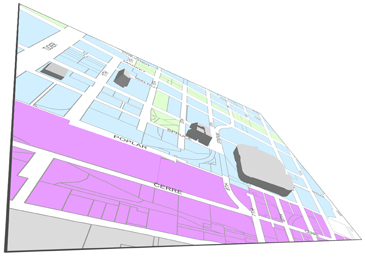
The mapping and graphics division main function is to generate maps to support the planning function of the City of St. Louis
Overview

The Mapping and Graphics Department develops and maintains comprehensive map and graphic resources for City departmental needs and general public dissemination. The department coordinates the collection of reference materials, develops standards and procedures, and assumes responsibility for designing, implementing and administering a fully operational city wide parcel level digital base map records management system, commonly known as a Geographic Information Systems (GIS).
Quick Links to Maps
Follow the links below to downloadable maps
Pricing
Price list for individual custom mapping services. Types of maps (Wards, Neighborhoods, Zip Code, Zoning, Aerial)
Staff
Jason Matott
GIS Specialist II/Graphic Designer
Ramona Schrauth
Graphic Designer
Tim Callahan
GIS Manager